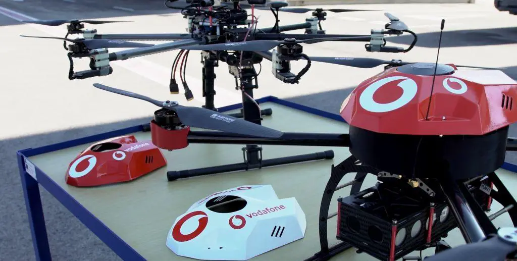
What is RPS and what are its capabilities?
The Radio Positioning System RPS is capable of tracking each drone in real-time with 50 meters accuracy for drone operators and air traffic control. It gives over the horizon, beyond the line of sight control to the operator which reduce the risk of accidents after operator losing the line of sight.
Proactive geofencing is a feature pre-programmed in the drones to land automatically or return to the operator when approaching predetermined exclusion zones such as airports. Emergency remote control intervention which provides the control override to the authorities when the drones needed to be controlled or land immediately. This technology will be used to register drone with SIM-based e-identification. The RPS technology from Vodafone is combined with Artificial Intelligence algorithms which are also developed by the Vodafone itself. It enables the operator to control a large number of drones. Deputy Group Chief Technology Officer, Johan Wibergh, commented, “The Commission supports all trials aimed at realizing our U-space vision for safe commercial drone operations in the EU – there is a growing network of demonstrations and projects across the EU. We look forward to hearing the results of Vodafone’s work.”
